
Great Sand Dunes
Light on the dunes
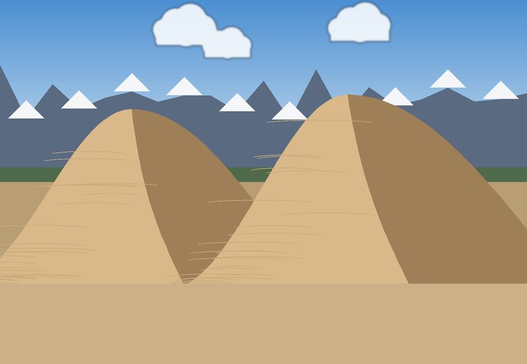
In the San Luis Valley of southern Colorado, a field of dunes rises at the foot of the Sangre de Cristo Mountains. These are the tallest dunes in North America. The highest, Star Dune, stands about 229 metres above the valley floor. The main dunefield covers about 78 square kilometres and lies around 2,345 metres above sea level.
A dunefield in the mountains
Winds blowing across the valley carry sand towards the mountains, where it piles up. Winds from other directions push it back, so the dunes grow tall instead of moving away. Star Dune gets its name from its shape: several arms spreading out from the top, formed by winds from many directions.
The area became a national monument in 1932 and a national park and preserve in 2004.
Waves in the desert
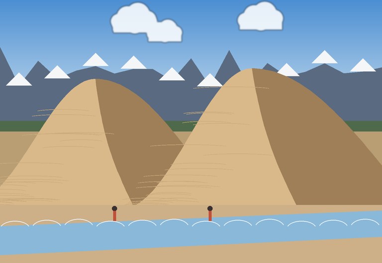
In late spring, snowmelt feeds Medano Creek, which flows along the edge of the dunes. Small sand ridges build up on the creek bed and then collapse, sending little waves downstream about every 20 seconds. Families come to paddle and play on this “beach” in the mountains.
Visiting tips
- Visit from late May to early June to see Medano Creek at its best.
- The sand can get extremely hot on summer afternoons. Hike early in the morning.
- At this altitude you tire faster, so walk slowly and drink plenty of water.
Key facts
| Location | San Luis Valley, Colorado, USA |
| Tallest dune | Star Dune, about 229 m |
| Dunefield | About 78 km² |
| Altitude | About 2,345 m |
| National park | Since 2004 |
How tall is it?
Compare the tallest dune with a famous landmark.